Posted by Precision Laser & Instrument, Inc. on 26th May 2022
"Construing Descriptions for Riparian Tracts!"
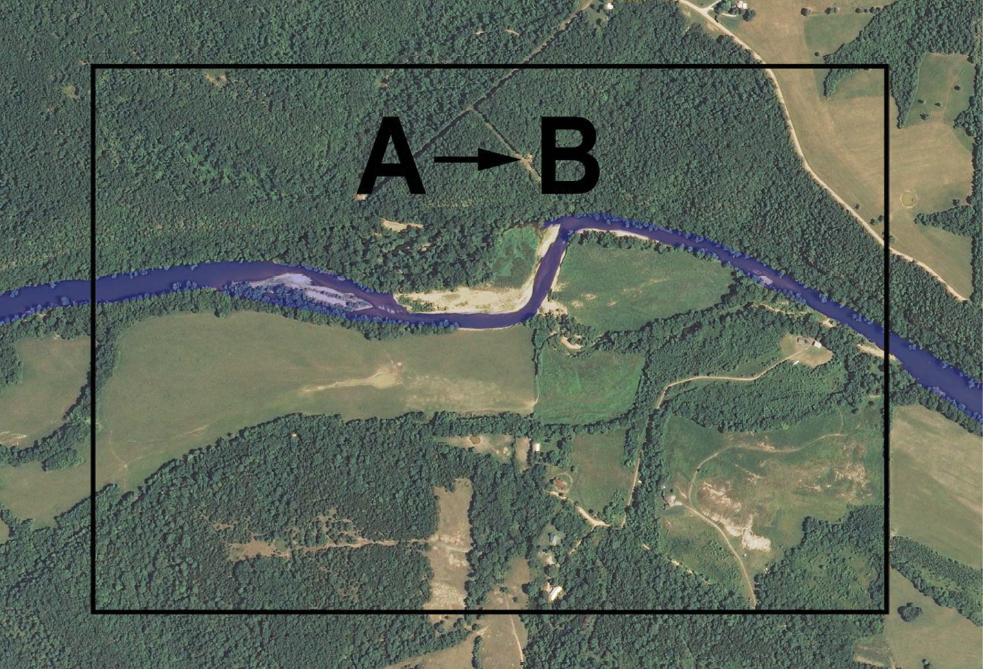
"Construing Descriptions for #Riparian Tracts!"
"Riparian and #littoral boundary location can be complex and very state-specific. "
Read: https://bit.ly/39ZMcU1
#PLI #Geospatial #GeospatialData #SurveyLife #Surveying #Surveyor #Surveyors #LandSurvey #LandSurveying #LandSurveyor #LandSurveyors #BoundarySurvey #Cadastral #TopographicalSurvey #Mapping #LandOwners #URISA #NSPS #PLS