
Posted by Precision Laser & Instrument, Inc. on 26th Jul 2021
"Trimble Tech & Satellite Imagery Helps Forestry Management!"
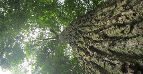
"#ForestManagement in Quebec is serious business! Learn how Canadian researchers are supporting this $10-billion #CAD industry by pairing #Trimble technology with satellite imagery to tailor custom paths for efficient #treemanagement."
Read On: https://bit.ly/3BS4kJ1
#PLI #Geospatial #GeospatialLife #GeospatialData #Surveying #Surveyor #Surveyors #SurveyLife #Photogrammetry #AssetTracking #AssetManagement #ResourceManagement #NaturalResources #NaturalResource #NaturalResourceManagement #Mapping #Maps #GIS #GPS #GNSS #URISA #EnvironmentalScience #Forestry