"Geospatial Solutions"
Surveying
Precision Laser & Instrument, Inc. (PLI) provides advanced surveying solutions in the form of mechanical/conventional and robotic total stations, GNSS receivers, 3D laser scanners and more to support everything from boundary, topographic and cadastral surveying, construction, civil engineering and more.

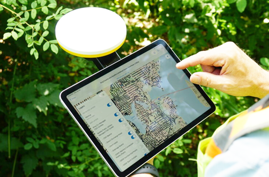
GIS/Mapping
Precision Laser & Instrument, Inc. (PLI) offers a full suite of GIS/Mapping solutions designed to simplify field data collection and enhance geospatial workflows. Our offerings include advanced GPS/GIS/GNSS receivers, user-frieldly software, subscription services, accessories and more to keep you mapping efficiently and accurately.
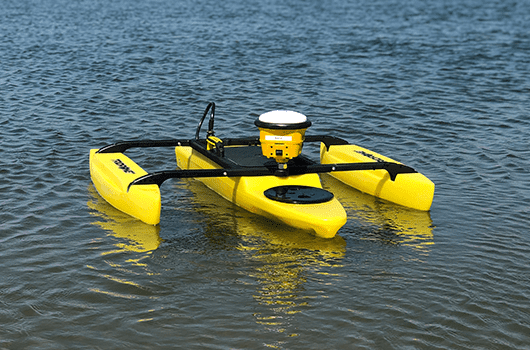
Hydrographic Surveying
Precision Laser & Instrument, Inc. (PLI) offers advanced hydrographic surveying solutions, including remote-controlled survey boats like the HyDrone-RS and TriDrone-RCF, enabling efficient and accurate waterway mapping. These tools are available for purchase, rent and demo at your request.
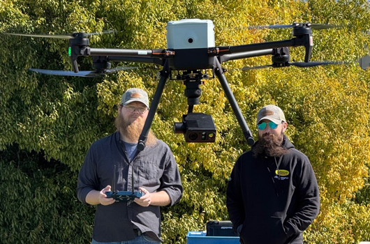
UAV/Drone Solutions
Precision Laser & Instrument, Inc. (PLI) provides cutting-edge aerial solutions for surveying and mapping, featuring industry-leading drone manufacturers such as Inspired Flight, Microdrones, Wingtra, PIX4D and more. These support a wide range of aerial data-capture applications in any environment.
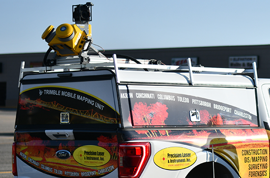
Mobile Mapping
Precision Laser & Instrument, Inc. (PLI) delivers state-of-the-art mobile mapping in forms such as the Trimble MX50 and MX60, combining high-resolution imaging and LiDAR technology for fast, efficient, accurate data capture on the move. These systems are ideal for transportation, utility and other infrastructure projects require rapid geospatial data collection on a large scale.
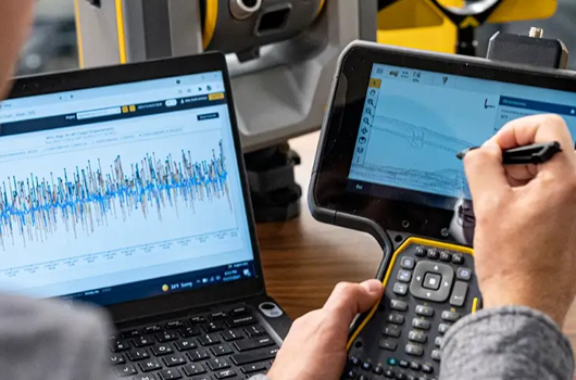
Trimble Monitoring
Precision Laser & Instrument, Inc. (PLI) offers cutting-edge monitoring solutions using Trimble technology to provide real-time precise data for structural, geotechnical and envrionmental applications. These systems help detect movement, assess risk and enhance safety, empowering you to make informed decisions and protect critical infrastructure.
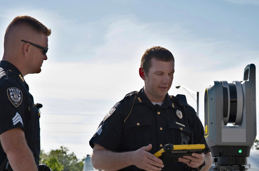
Trimble Forensics
Precision Laser & Instrument, Inc. (PLI) delivers advanced forensic data solutions empowered by Trimble technology. These powerful tools enable quick, reliable scene documentation, helping public safety professionals collect, process and analyze critical evidence that holds up in court.