Posted by Precision Laser & Instrument, Inc. on 19th Dec 2025
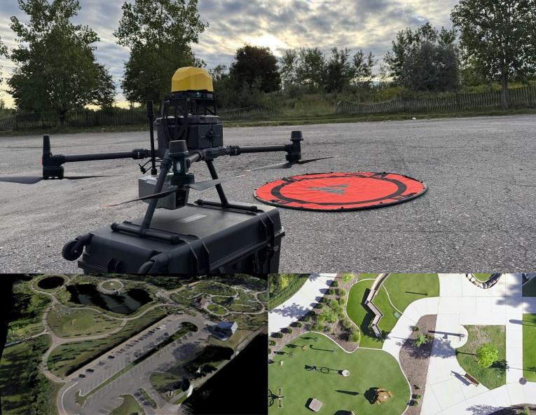
"How Can Aerial & Handheld LiDAR Create a More Complete Surveying Dataset?"
"How Can #Aerial & #HandheldLiDAR Create a More Complete #Surveying #Dataset?"
#PLI #Microdrone #Microdrones #GeoCue #SurveyLife #LandSurveying #Surveyor #Surveyors #LandSurvey #LandSurveyor #LandSurveyors #EngineeringLife #CivilEngineering #Construction #LiDAR #DroneLife #Drone #Drones #DroneSurvey #DroneSurveying #DroneMapping #UAVMapping #UAVSurvey #NSPS #PLS