Jump Starts are Perfect for Those Who Want To:
- Take their existing GIS to the field
- Rapidly deploy mobile GIS solutions
- Add high-accuracy location info to existing workflows
- Eliminate paper workflows
- Migrate seamlessly from Trimble TerraSync & Esri Arcpad!
 |
ArcGIS Online Jump Start
(P/N: AGOL-Jump2)
- Needs assessment
- Configuration of your organizational account
- Organization/structure of data with ArcGIS Pro (Geodatabase)
- Publishing & sharing to ArcGIS Online (Feature Services)
- Setup of your ArcGIS website
Configure Web Maps & Apps:
- Survey123 for ArcGIS - Replace paper forms, gather info
- Collector for ArcGIS - Spatially collect/locate data/assets
- ArcGIS StoryMaps - Digital storytelling using maps
- Operations dashboards for ArcGIS - Monitor events & activities in real-time
- Includes 30Hrs of Implementation Services
|
 |
Collector for ArcGIS Jump Start
(P/N: Collector-Jump2)
- Publishing your existing data to ArcGIS online
- Configuration of GNSS metadata fields (Optional)
- One-on-one orientation of workflows & best practices for field data collection, updating data & viewing in ArcGIS Online
- Setup of high-accuracy, real-time GNSS (Optional)
- Getting started documentation
- Includes 4Hrs of Implementation Services
|
 |
Survey123 for ArcGIS Jump Start
(P/N: Survey123-Jump2)
- How to recreate a paper form (or outline) to a digital survey
- One-on-one orientation of workflows & best practices including sharing surveys, fill out surveys & reporting tools
- Getting started documentation
- Includes 4Hrs of Implementation Services
|
 |
TerraFlex/Positions Jump Start
(P/N: TerraFlexPost-Jump2)
- Setup & configure Trimble Positions Desktop
- Check/publish existing data to Trimble Connect
- One-on-one orientation of workflows & best practices for field data collection, updating data & viewing in ArcGIS Online
- Check in data/post-processing workflows
- Setup high-accuracy real-time GNSS (Optional)
- Getting started documentation
- Includes 6Hrs of Implementation Services
|
 |
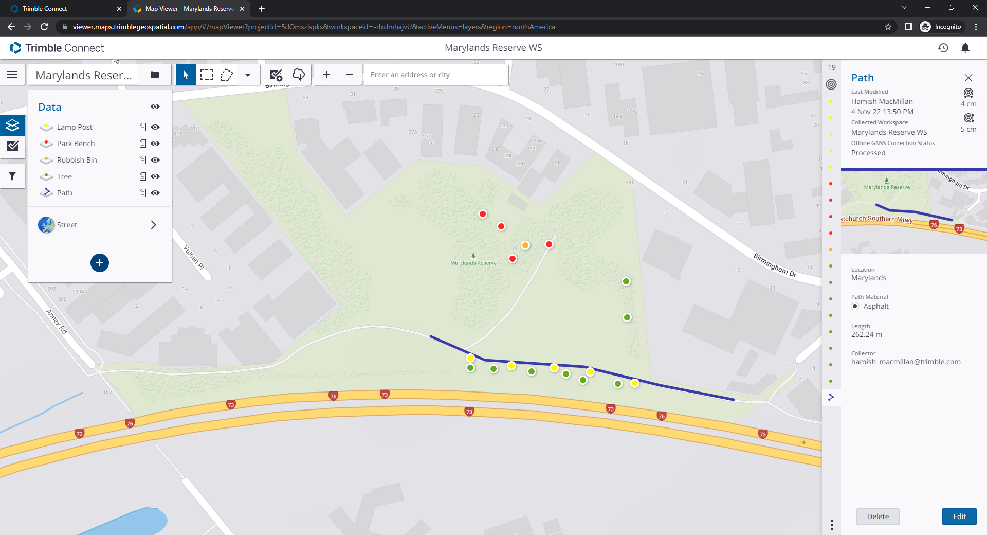
TerraFlex Jump Start
(P/N: TerraFlex-Jump2)
- Publish your existing data to InSphere/Connect
- One-on-one orientation of workflows for creation, field data collection, updating data & viewing in Trimble Connect
- Setup high-accuracy real-time GNSS (Optional)
- Getting started documentation
- Includes 4Hrs of Implementation Services
|
Additional GIS services are available upon request, including web maps, dashboards, data migration, scripting, workflow consultation, app development, GIS planning & strategy, & parcel fabric & implementation services. Contact Us @ 724-266-1600 or PLI@laserinst.com to Learn More.


